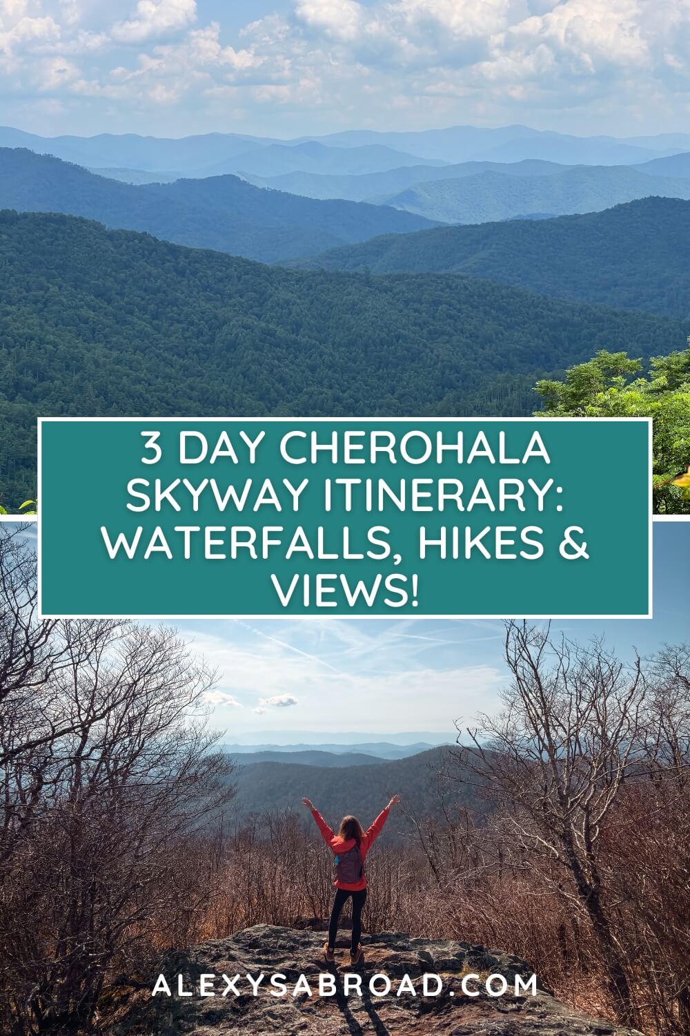
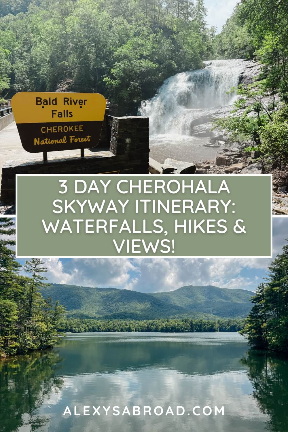
Imagine spending three days exploring one of the most epic scenic drives in Tennessee and North Carolina, chasing jaw-dropping waterfalls, hiking beautiful trails, and swimming in a picturesque mountain-framed lake.
Make this happen by using my jam-packed three-day Cherohala Skyway itinerary!

As an East Tennessee local, I’ve driven this road from start to finish countless times. I’ve discovered some pretty amazing hikes, waterfalls, and overlooks that I can’t wait to share with you in this itinerary!
With my 3-day Cherohala Skyway itinerary, you’ll get to drive the 51-mile scenic road, explore waterfalls, hike trails with epic views, and discover amazing detours.
3 Day Cherohala Skyway Itinerary

Disclaimer: This post may contain affiliate links. If you click on the links, I may receive a small commission at no extra cost to you. As always, all opinions are my own. Thanks so much for your support!
Getting to the Cherohala Skyway
The Cherohala Skyway traverses 51 miles from Tellico Plains, Tennessee to Robbinsville, North Carolina.
If you’re not local to Tennessee or don’t live within driving distance, the easiest way to get to the Cherohala Skyway is by flying into McGhee Tyson Airport.
From the airport, rent a car and drive an hour to the west end of the Skyway in Tellico Plains.
Where to Stay When Visiting the Cherohala Skyway

If possible, plan on staying four nights so you can spend three full days exploring the Cherohala Skyway.
For this particular itinerary, I recommend staying in Tellico Plains or Madisonville; both are on the Tennessee side.
The best places to stay near/on the Cherohala Skyway are:
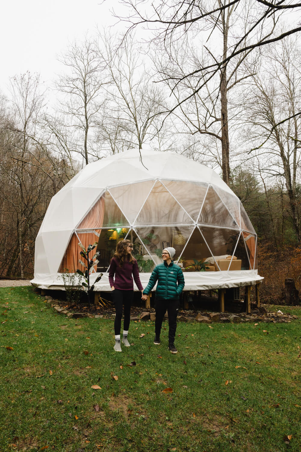
- Domes at Hidden Rock – private forested glamping dome, perfect balance between rustic camping and cozy lodge comfort, friendly hosts provide firewood, s’mores kit, and fresh farm eggs, 15 minutes from the Skyway (we stayed here – highly recommend!)
- Lodge at Tellico – rustic cabin-style rooms with balcony views, just 1 mile from the Skyway and restaurants
- Tellico Plains Inn – charming boutique hotel perfect for those who want to mingle with locals, less than 1 mile from the Skyway and within walking distance of restaurants
- Indian Boundary Campground – wooded campsites steps from a mountain-framed lake, sandy swim beach, honey holes, and a hiking/biking trail, hands-down best location (on the Skyway)
When to Visit the Cherohala Skyway
The Cherohala Skyway is beautiful year-round, but to make the most of everything on this itinerary, I recommend visiting between May and September.
3 Day Cherohala Skyway Overview
Day 1: Drive the Skyway From Start to End + Explore Bald River Falls and Baby Falls
Day 2: Hike to Falls Branch Falls + Hike/Swim/Paddle at Indian Boundary
Day 3: Hike to Hooper Bald, Huckleberry Knob + Joyce Kilmer’s Lower & Upper Loops
Day 1: Scenic Drive, Bald River Falls, and Baby Falls

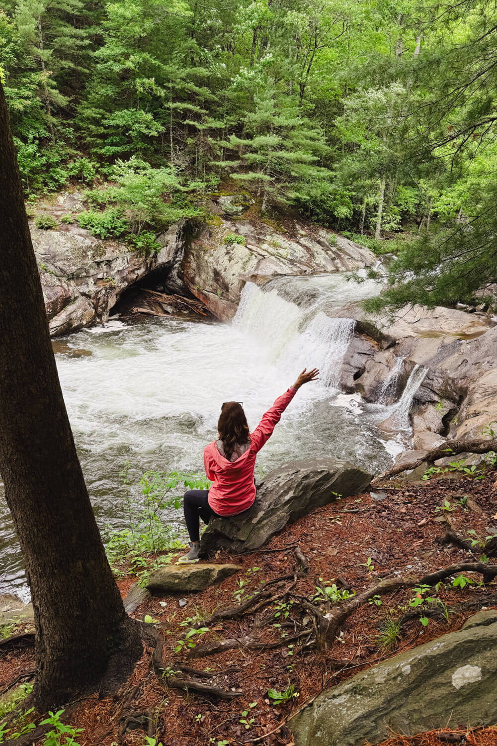
There’s no better introduction to this scenic road than driving the entire 51 miles from start to finish! (And taking a detour to discover some epic roadside waterfalls!)
Since you’ll be driving all day, and there is very limited food on the Skyway (you can find some options at the seasonal Indian Boundary Camp Store), I’d recommend packing a picnic lunch to enjoy at one of the overlooks.
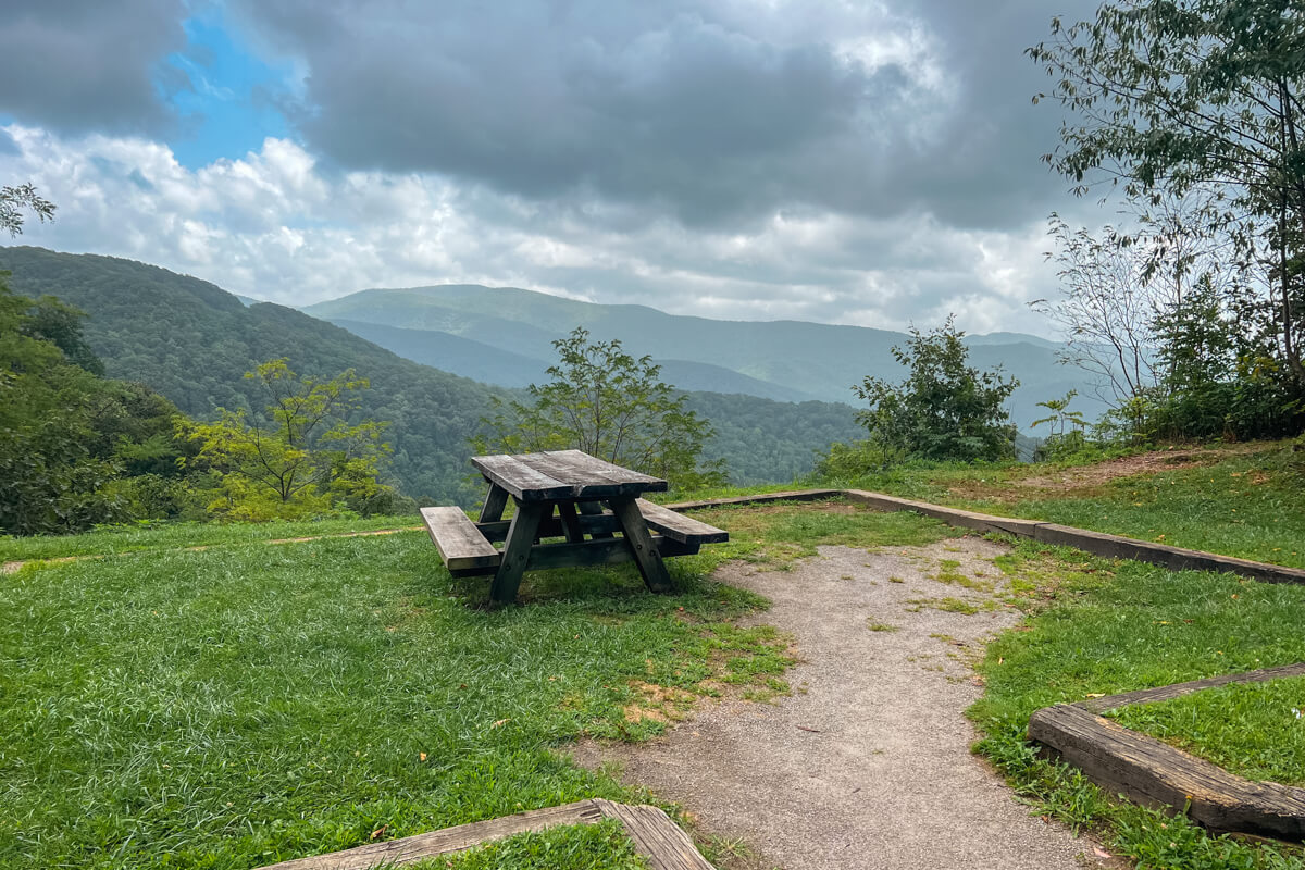
The Cherohala Skyway starts about a half-mile east of the Cherohala Skyway Visitor Center in Tellico Plains, Tennessee. As you drive east, you’ll soon pass some great riverside eateries and outfitters, along with a smattering of waterfront rental properties.
Without stops, driving the Skyway from start to finish will take you less than 2 hours. But since this day is wide open, take your time driving and stop at any interesting overlooks that catch your eye.
Don’t worry, the next two days will be more hike-heavy, so enjoy the relaxed drive today. Cruise the winding roads and stop at the scenic viewpoints along the way.

Less than 5 miles into your drive, you’ll approach a side road called River Road. I recommend turning right here and taking this detour to discover two roadside waterfalls!
After turning right onto River Road, continue about 6 miles down the paved, windy road.
The first (bigger) roadside waterfall will come into view first: Bald River Falls! This one is a beauty. While you can see it from your car – you’ll drive right by it – I recommend parking in the small lot just beyond the waterfall, getting out of your vehicle, and admiring it up close from the viewing platform.

Next, continue down the road another half-mile to the Baby Falls Day Use Area. Park in the small lot, hop out of your car, and walk about 200 feet down the side of the road (back in the direction you came from).
Baby Falls will be directly off the road on the right side! You can see it from the road, but if you’re feeling adventurous, scramble down to the river to get a closer look.

Since there are pit toilets at Baby Falls Day Use Area, it’s a good idea to use those before heading back to the Skyway.
Head back the way you came to return to the Skyway. Once you come to the T intersection at the Skyway, turn right to continue driving east.
As you make your way east, you’ll pass over a dozen scenic overlooks and even more pull-offs.
Here are some of my favorite overlooks, in order from west to east:
- Caney Branch Overlook
- Turkey Creek (+ picnic tables and pit toilets)
- Brushy Ridge (+ picnic tables)
- West & East Rattlesnake Overlooks
- Whig Cove (+ picnic tables)
- Obadiah Overlook
- Shute Cove Overlook

Once you’ve reached the end of the Skyway in Robbinsville, it’s time to look at the clock and make a decision.
If you have an extra hour or two to spare and want to stretch your legs from all of the driving, I’d drive 15 minutes to the Yellow Creek Falls trailhead in Robbinsville and hike the short but sweet trail. The path leads to a waterfall in just over a quarter-mile!
If you don’t have much time left, turn around and head back to Tellico Plains. Grab a meal at Red Chimney Pizza (ask about the tiramisu and cannoli!) before retiring at your accommodations for the evening.
Rest up because tomorrow, you’re going on your first hike!
Day 2: Falls Branch Falls and Indian Boundary

Now that you’ve gotten a taste of how beautiful the Skyway is, it’s time to get out of the car, stretch your legs, and go for a hike!
But first: pack another picnic lunch because you have another full day on the Skyway! Picnics are a staple for road trips, am I right?!
First thing in the morning, drive from Tellico Plains to West Rattlesnake Overlook, which is the trailhead for Falls Branch Falls.

From Tellico Plains, you’ll be driving roughly 22 miles. If you’re staying at Indian Boundary, you will only have to drive about 10 miles. The overlook and trailhead parking area are on the left.
At West Rattlesnake Overlook, look for the trailhead on the left side of the parking lot. Dip down into the forest to find the official trailhead sign. Turn left and follow the moderate trail for about 1.25 miles until you reach the base of the falls!


A majority of the trail is easy, but the final quarter-mile is more of an adventure. It involves some steep scrambles to get down to the river and back up to the base of the falls.
One thing I love about Falls Branch Falls is that the water at the base is so shallow and rocky, so you can walk all the way up to it! It would feel so good to splash underneath the waterfall on a hot, summer day!


Once you’re done hiking, hop back in your car and head back toward Tellico Plains. About 8 miles from the Falls Branch Falls trailhead, turn right onto Indian Boundary Road. Follow the paved forest service road for about 2.5 miles, past the campground and past the picnic area, to the end. Park in the large day-use lot.
NOTE: There is a $3 day-use fee to park here. If you have the America the Beautiful Pass, you don’t have to pay the fee; simply display your pass on your dashboard.
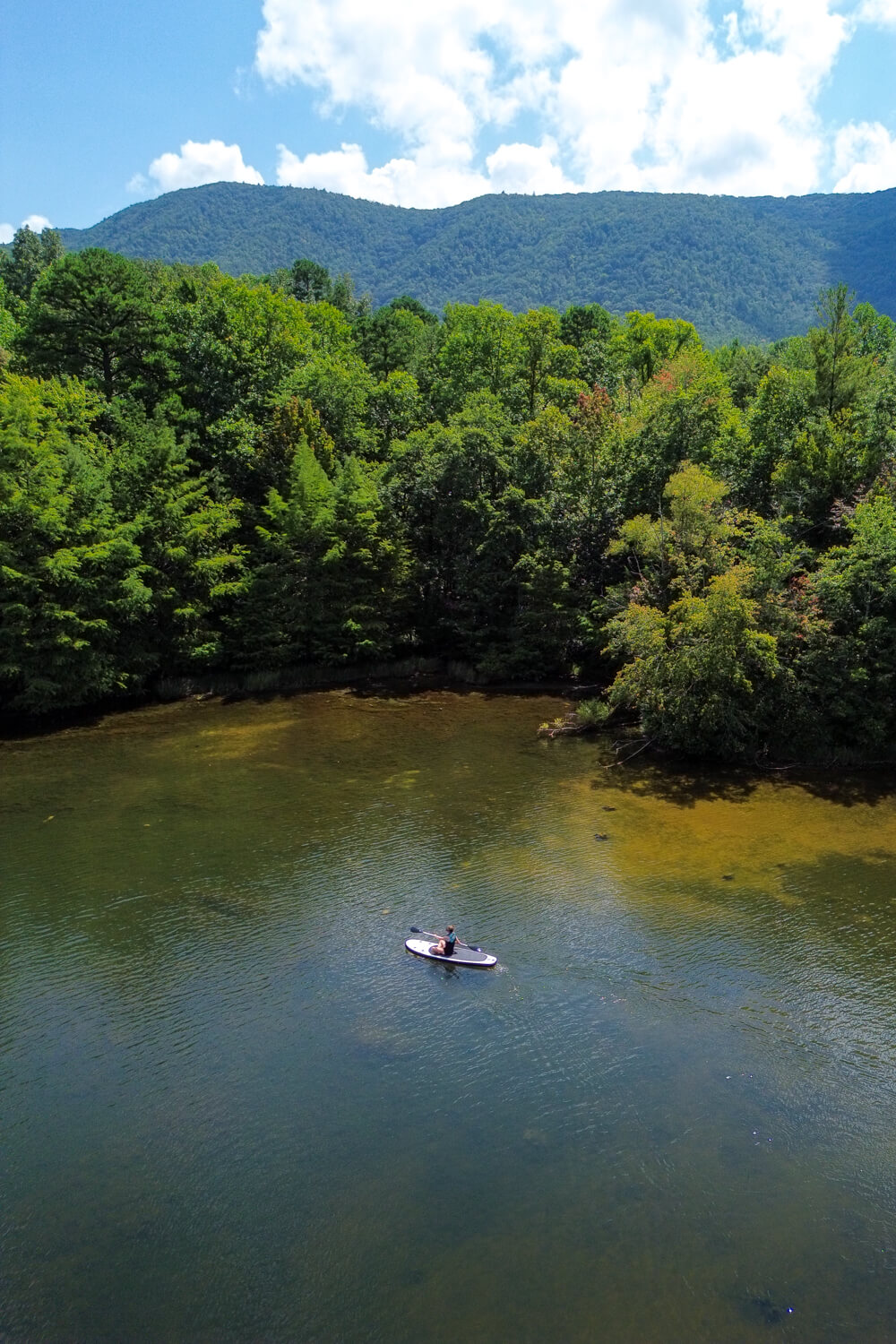
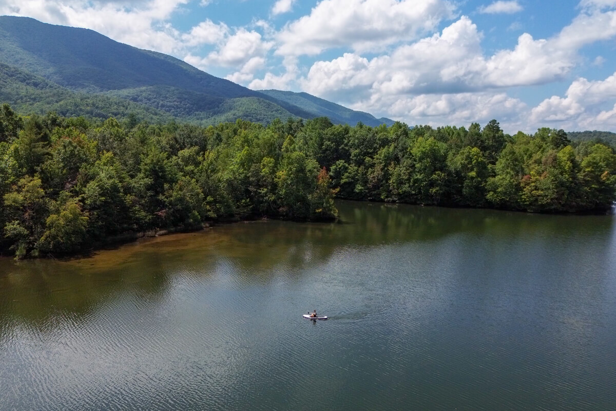
Spend the afternoon at Indian Boundary! The day-use area boasts a sandy swim beach, restrooms, a picnic pavilion, and access to an easy 3-mile trail that circles the picturesque lake!
And just a short walk from the day-use area are volleyball courts, a boat ramp, and kayak rentals. Rent kayaks and canoes at the campground’s general store, launch them from the boat ramp, and enjoy paddling on the glassy mountain-framed lake!
Now it’s time to head back into Tellico Plains and grab dinner. Tonight, I’d recommend eating at the Tellico Beach Drive-In, a casual outdoor riverside eatery that sells burgers, hot dogs, and sandwiches. Make sure to grab ice cream there for dessert!
Afterward, head to your accommodations or campsite for the evening. Get another good night’s rest because tomorrow, you’re going to hike my favorite trails on (and just off!) the Skyway!
Day 3: Hooper Bald, Huckleberry Knob, and Joyce Kilmer

Alright, you’ve now spent one full day driving and one day hiking and enjoying lake activities.
Now, it’s time to spend your final day hiking…all day! Woohoo! And I’ve got some jaw-dropping hikes for you.
First up, Hooper Bald! To get to the trailhead, drive east from Tellico Plains for about 30 miles. (If you’re staying at Indian Boundary, you’ll only have to drive 20 miles!) The trailhead parking is on the right side of the road, up a steep hill.
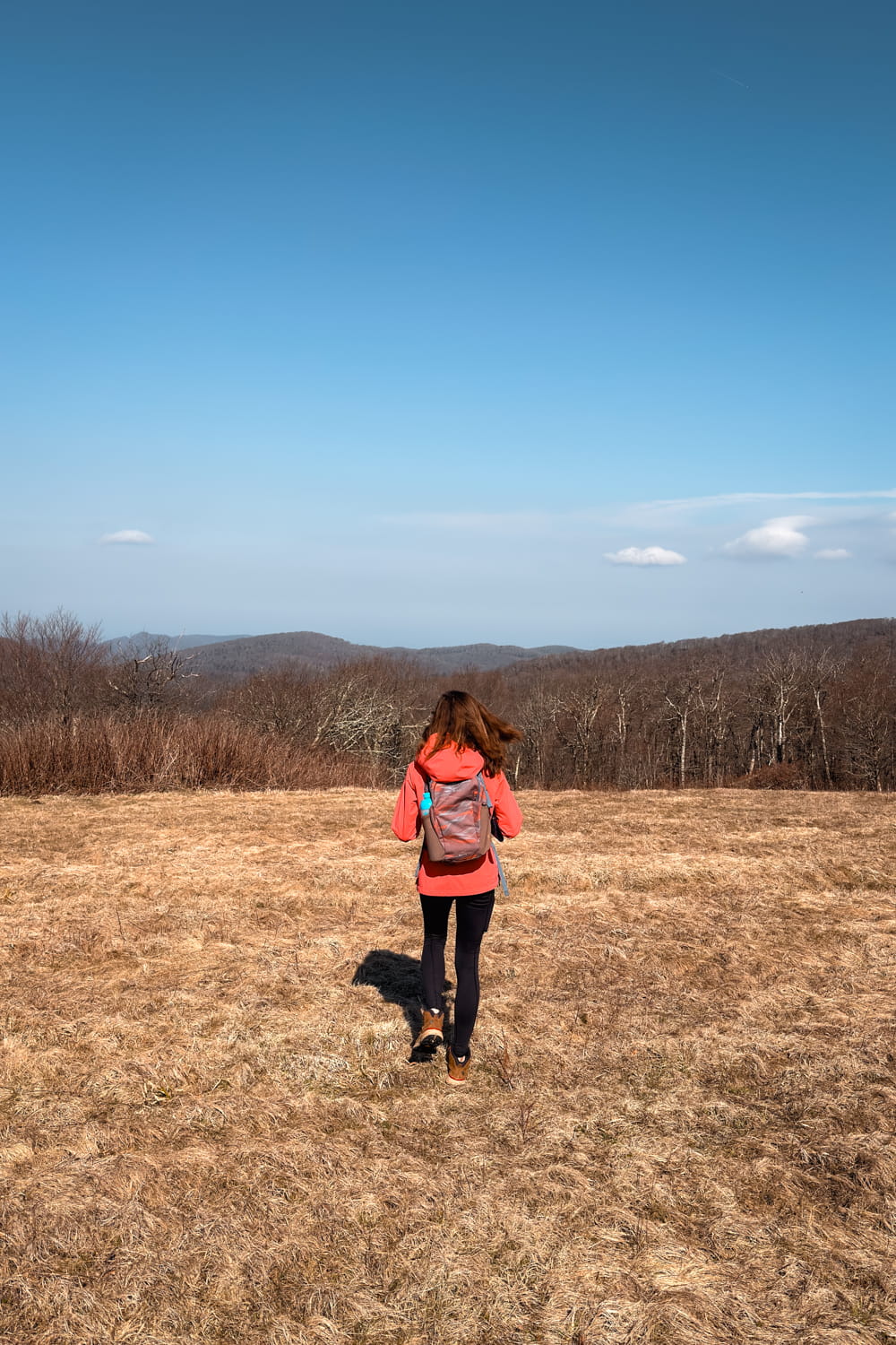
This easy 1.3-mile roundtrip trail starts off meandering through a forest on a gravel pathway. In less than a half-mile, the path opens up to a grassy bald. A bald is a mountain with low grasses and shrubs, usually boasting limited obstructions to the views surrounding it.
My favorite viewpoint is a half-mile from the parking area. Shortly after exiting the forest and entering the open grassy bald, you’ll see a large rock on the right side. It provides breathtaking views of the surrounding mountains!
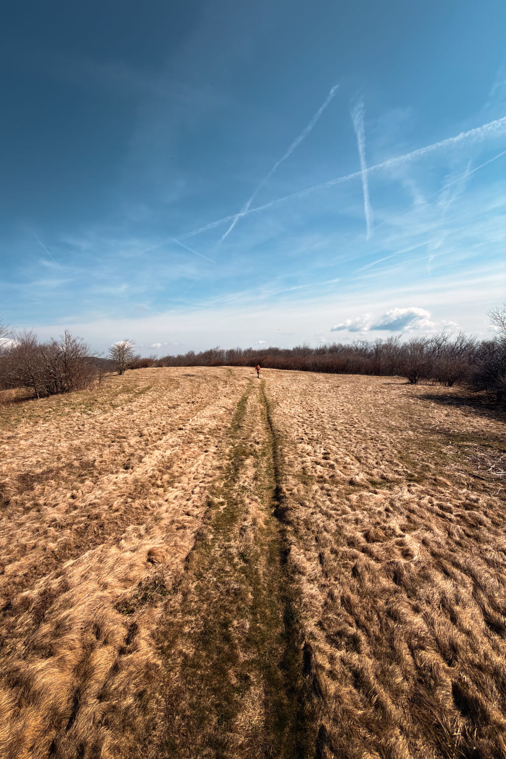

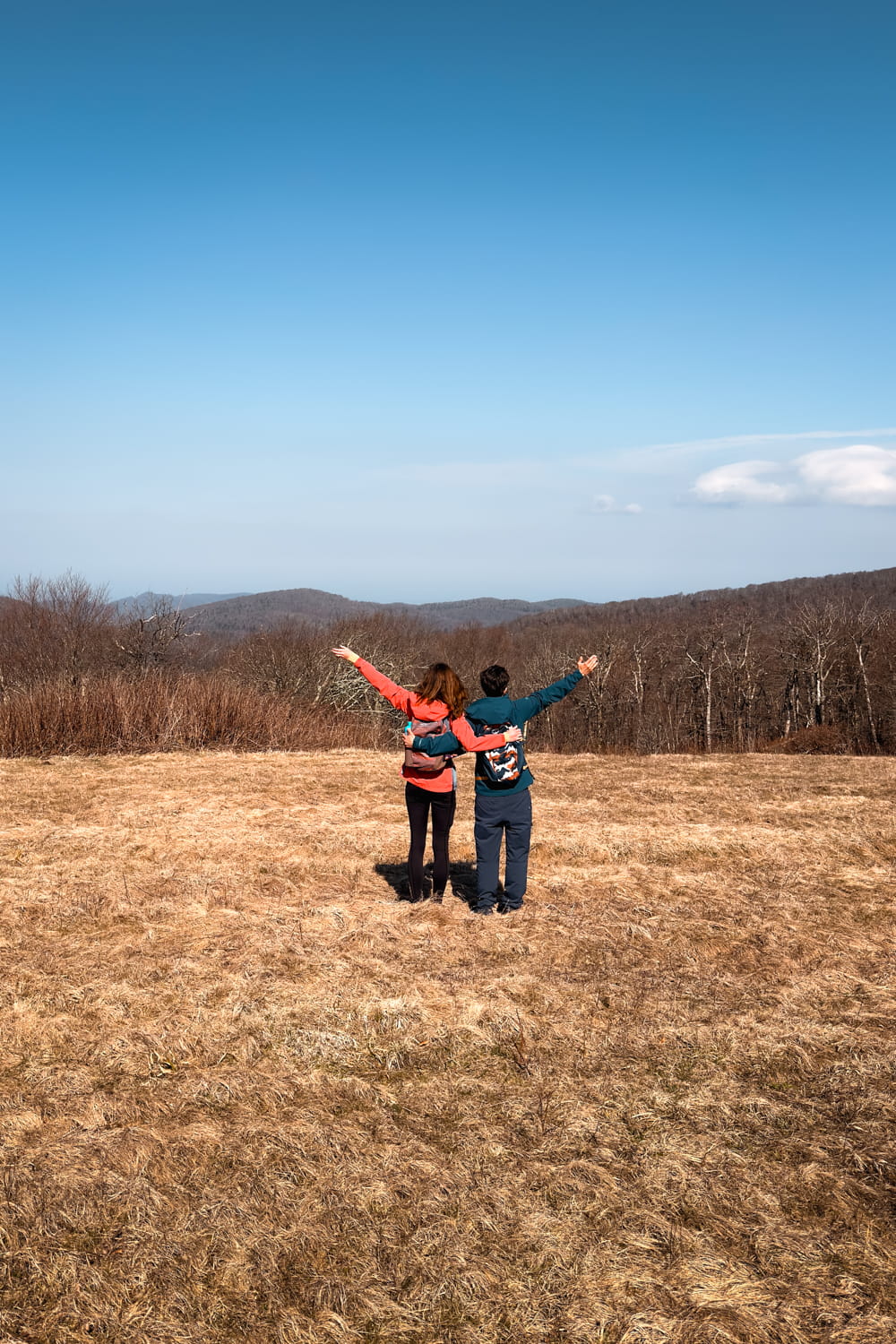
Keep going for another tenth of a mile or so, and you’ll reach the end of the trail. The views from here are amazing, too! Here, there are no obstructions to the east, so you can see the rolling mountains and even Huckleberry Knob in the distance! (You’ll be hiking that one next!)
After enjoying the views, it’s time to drive another mile up the road to Huckleberry Knob, my personal favorite hike on the Skyway. The parking area is on the left side of the road and has only a few parking spaces.
Similar to Hooper, Huckleberry Knob is another short and easy trail – it’s just 1.8 miles roundtrip – and features jaw-dropping views from the summit.
The trail is beautiful; it traverses through a beautiful, wide-open meadow with short grass and shrubs.

And the view from the top? Even better than Hooper’s. With even fewer obstructions than Hooper, you can spy mountains as far as the eye can see in almost every direction.

Finally, cap off your day with a hike amongst some giant, unique trees at Joyce Kilmer Memorial Forest.
From Huckleberry Knob, drive 9 miles east, turn left onto Santeetlah Road, drive another 2 miles, then turn left onto Joyce Kilmer Road. The trailhead to the Lower and Upper Loops is about a half-mile down the road.
The Lower Loop begins right off the parking area; I recommend hiking it counterclockwise so you hike the steepest section on the way down.
The Lower Loop is just 1.2 miles and winds through a beautiful old-growth forest and crosses the Little Santeetlah Creek and all of its branches many times.
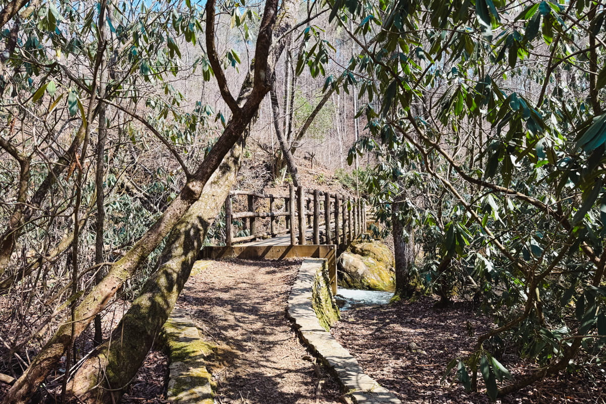
The Upper Loop is 0.7 miles. Since the two loops intersect, you can easily add this loop to your Lower Loop hike. You’re essential hiking two loops; on the map, your route will look like the number 8.
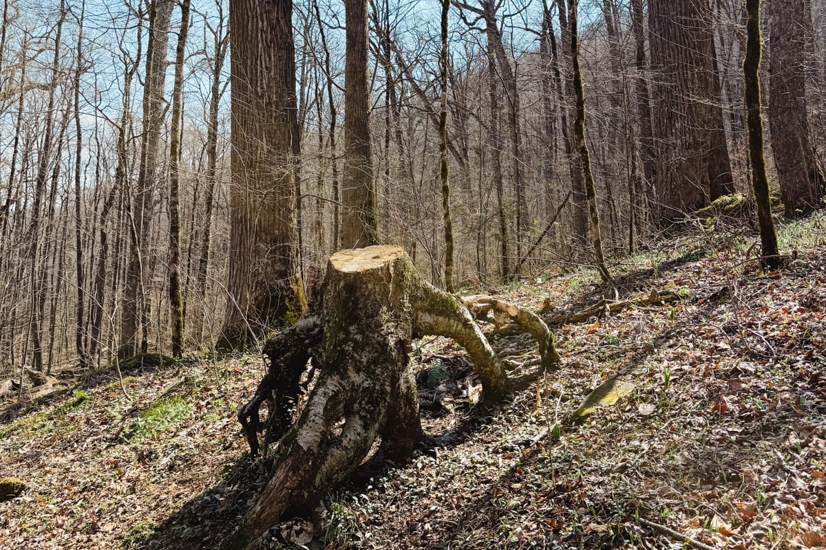
The Upper Loop is my favorite hike in Joyce Kilmer. It meanders through some of the oldest, most impressive trees on this side of the country. And the trees are not only large, but unique!
One tree has its spidery roots ripped from the ground, so now it resembles a crawling tarantula. You’ll have to see it to believe it!
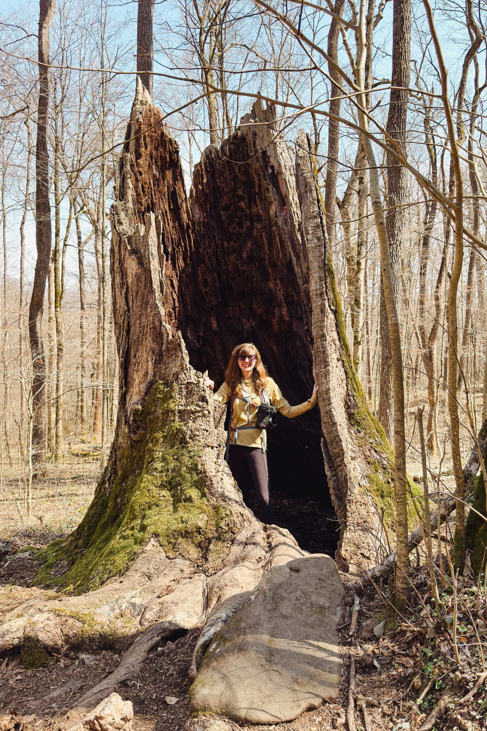
If you combine the Lower and Upper Loops (which I highly recommend), you’ll be hiking a total of 1.9 miles.
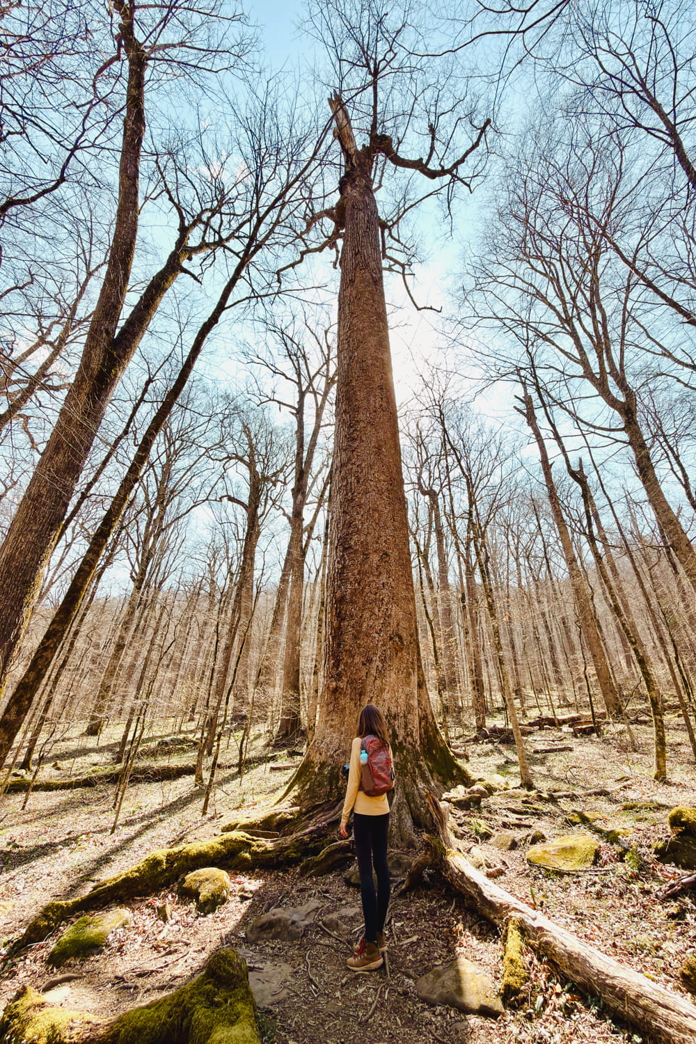
Sadly, your time on the Skyway is about to come to an end. If you have some time left in your day, and you’re not quite ready to go back to your campsite or lodging, I’d recommend driving the picturesque, 6-mile Joyce Kilmer Road.
This extremely scenic road winds up the mountain and along the magazine-worthy Santeetlah Lake. If you have time to take a dip in its sparkly waters, please do so!
Finally, it’s time to head back to your campsite or hotel before making your way back home or to the airport the next morning.
Not ready for your trip to end? I have some ideas for you to extend your time in Tellico Plains:
- Float the Tellico River
- Off-road a section of the TAT
- Chase more waterfalls (Conasauga Falls & Coker Creek Falls)
- Watch the sunset at Buck Bald
Finish Planning Your Trip to the Cherohala Skyway
Make trip planning a breeze with the help of my guides!
- Where to Stay When Visiting the Cherohala Skyway: Breakdown By Town
- Falls Branch Falls: Cherohala Skyway’s Best-Kept Secret!
- Huckleberry Knob Trail Guide: Panoramic Mountain Views
- Indian Boundary Lake Trail: Exactly What to Expect
Discover Your Next Adventure
Where to next? I’ve got some suggestions!


- East Tennessee Waterfalls Road Trip Itinerary
- Townsend, Tennessee
- Roaring Fork Motor Nature Trail
- Frozen Head State Park
- Blue Ridge Parkway
PIN IT AND SAVE THIS POST FOR LATER!